Trimble xFill™ provides less downtime in the field, with continuous RTK coverage during connection outages from an RTK base station or VRS network.
Trimble CenterPoint™ RTX™ delivers GNSS corrections via satellite or internet connection anywhere in the world for unprecedented speed and accuracy for a PPP solution.
Cutting edge Trimble HD-GNSS processing engine enables surveyors to measure points more quickly.
Trimble SurePoint™ fully compensates for pole tilt. Conveniently measure points that were otherwise inaccessible with complete quality assurance.
Powerful 440-channel solution with Trimble 360 technology delivers the most advanced satellite tracking.
Ergonomic design for easier and more comfortable handling.
Integrates seamlessly with V10 Imaging Rover and S-Series total station positioning sensors.
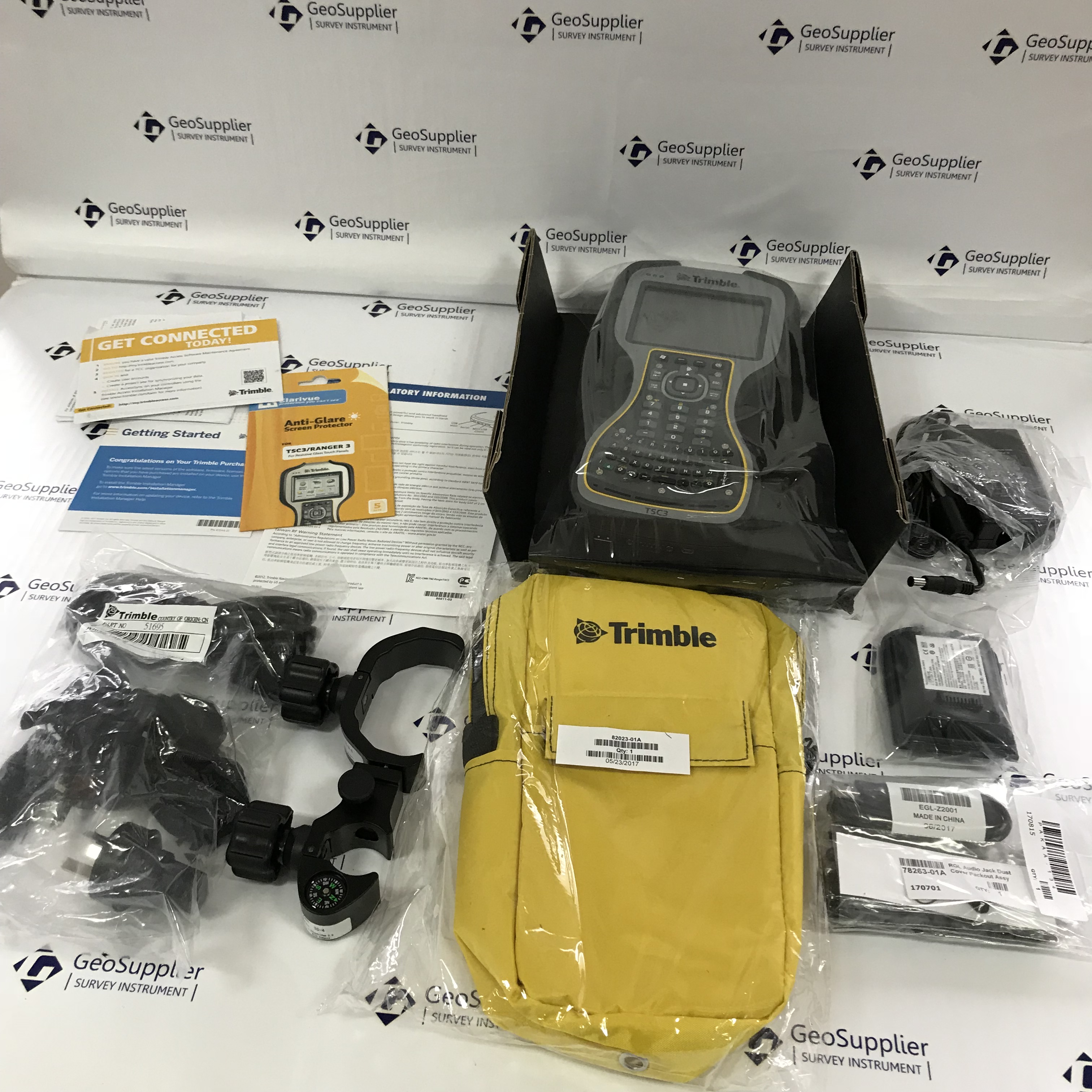
Pair with Trimble Access and the TSC3 controller, Trimble Tablet, Slate or Trimble CU for the most powerful solution on the market.
Expanded Trimble xFill functionality will now allow surveyors to continue collecting data with centimeter accuracy indefinitely after connection is lost with their base station or VRS network.
Powered by Trimble RTK technology, Trimble xFill allows unlimited and continuous RTK accuracy with no degradation in precision, through a subscription to Trimble’s CenterPoint RTX service.
With a CenterPoint RTX subscription, surveyors can remain productive indefinitely outside of radio range and avoid the costly need to move their base station or utilize an optical total station.
Without a Trimble CenterPoint RTX subscription, xFill maintains RTK level accuracy for up to five minutes during interruptions in the primary terrestrial correction stream. xFill functionality is built into every Trimble R10 GNSS system.
The Trimble CenterPoint RTX subscription:
Maintains survey level precisions for an infinite duration.
Leverages a worldwide network of Trimble GNSS reference stations to deliver position information via geostationary satellites or internet connection.
Seamlessly “fills in” for RTK or VRS corrections during temporary outages such as radio black spots.
positioning performance
code differential gnss positioning
Horizontal
0.25 m + 1 ppm RMS
Vertical
0.50 m + 1 ppm RMS
SBAS differential positioning accuracy
typically <5 m 3DRMS
static and Faststatic gps surveying
Horizontal
5 mm + 0.5 ppm RMS
Vertical
5 mm + 1 ppm RMS
Kinematic surveying
Horizontal
10 mm + 1 ppm RMS
Vertical
20 mm + 1 ppm RMS
Initialization time5
typically <10seconds
Initialization reliability5
typically >99.9%
hardware
Dimensions (W×H)
19 cm × 11.2 cm
Weight
1.35 kg
Temperature6
40 °C to +65 °C
Humidity
100%, condensing
Water/dustproof
IP67
Shock and vibration
Tested and meets the following environmental standards
Shock
Non-operating:Designed to survive a 2 m (6.6 ft) pole
drop onto concrete. Operating: to 40 G, 10 msec, sawtooth
Vibration
MIL-STD-810F, FIG.514.5C-1
electrical
Power 11 V DC to 28 V DC external power input with over-voltage protection on
Port 1 (7-pin Lemo)
Rechargeable, removable 7.4 V, 2.4 Ah Lithium-Ion battery. Power consumption7
is 3.2 W, in RTK rover mode with internal radio .
Operating times on internal battery
– 450 MHz receive only option 5.3 hours, varies with temperature
450 MHz receive/transmit option 3.5 hours, varies with temperature
and wireless data rate
GSM/GPRS 3.8 hours, varies with temperature
Certification Class B Part 15, 22, 24 FCC certification, 850/1900 MHz.
Class 10 GSM/GPRS module. CE Mark approval, and C-tick approval
communications and data storage
Serial: 3-wire serial (7-pin Lemo)
USB: supports data download and high speed communications
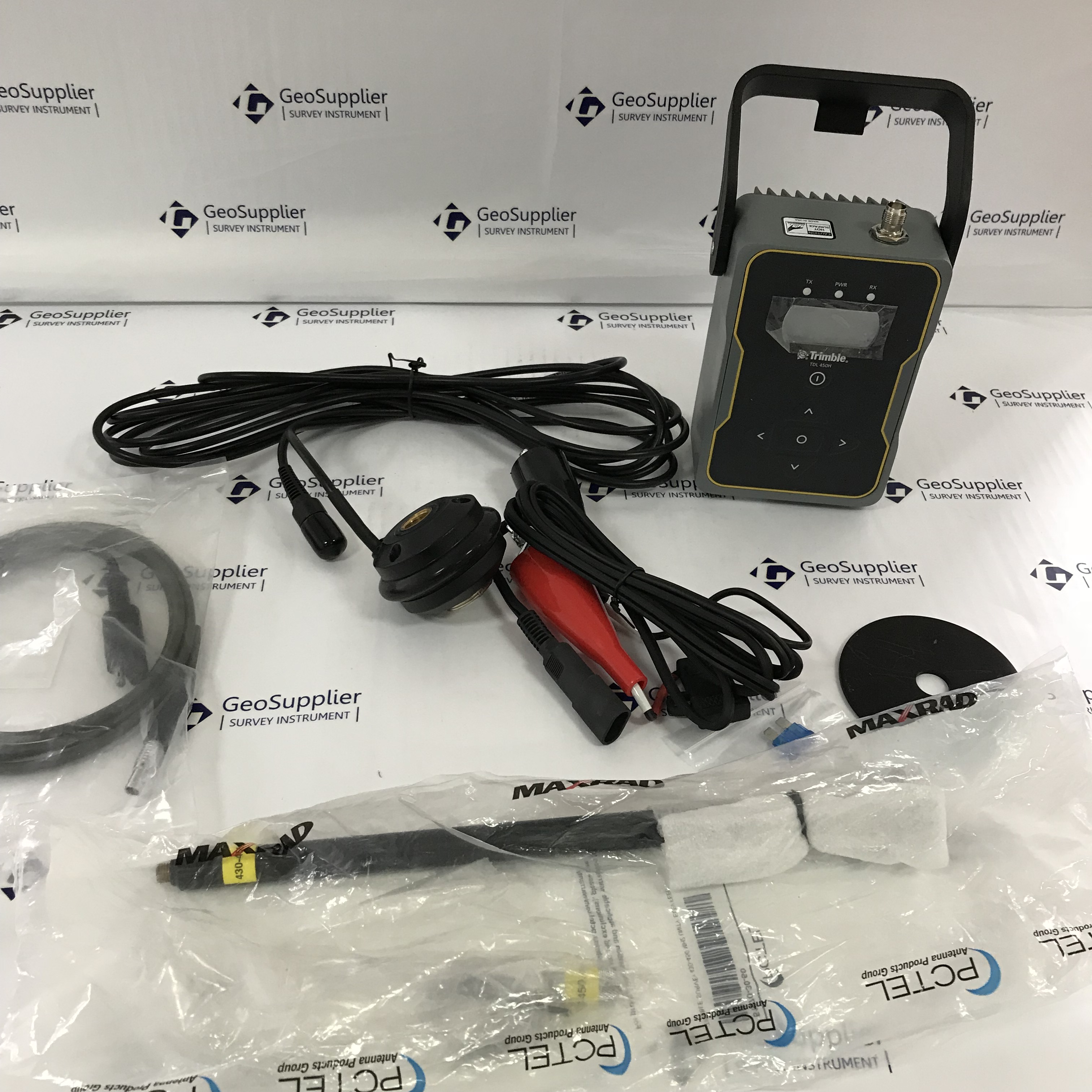
Radio Modem: fully Integrated, sealed 450 MHz wide band receiver/transmitter with frequency
range of 410 MHz to 470 MHz
Transmit power: 2 W
– Range: 3–5 km typical / 10 km optimal10
Cellular: integrated, 3.5 G modem, HSDPA 7.2 Mbps (download), GPRS
multi-slot class 12, EDGE multi-slot class 12, UMTS/HSDPA (WCDMA/FDD) 850/1900/2100MHz, Quad-band EGSM 850/900/1800/1900 MHz, GSM CSD, 3GPP LTE
Bluetooth: fully integrated, fully sealed 2.4 GHz communications port
WiFi: 802.11 b,g, access point and client mode, WPA/WPA2/WEP64/WEP128 encryption
External communication devices for corrections supported on – Serial, USB Ethernet, and Bluetooth ports
Data storage: 4 GB internal memory; over three years of raw observables
(approx. 1.4 MB /day), based on recording every 15 seconds from an average
of 14 satellites