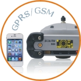
Dual bluetooth technology inside controller, can connect with CORS via cellphone
Proven Trimble Maxwell 6 technology
Design of four-feed dual antenna to restrain multi-path effect
Calculate the long-distance baseline efficiency
Remote configurations and access
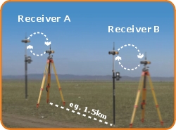
Base and rover communications options to suit any application
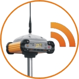
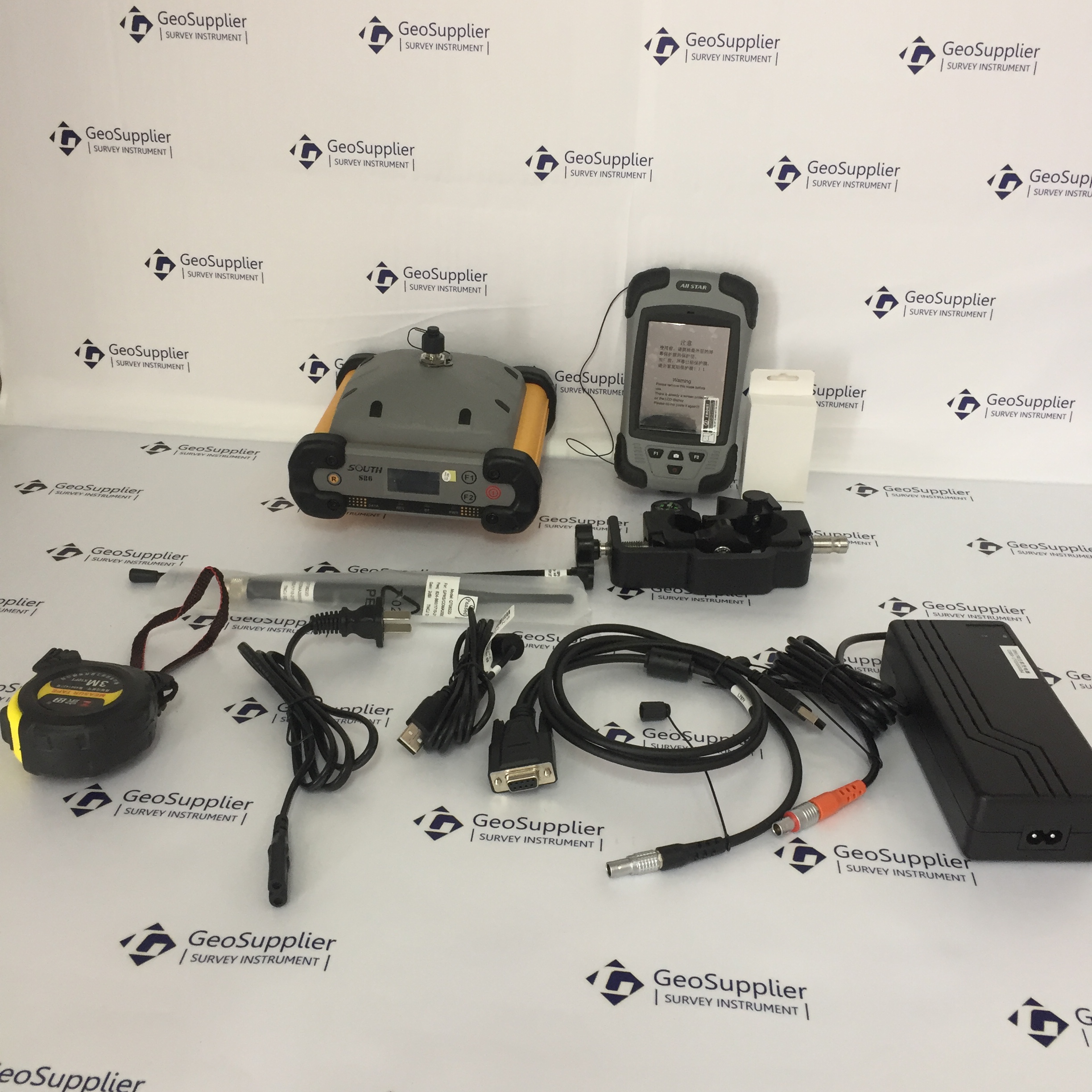
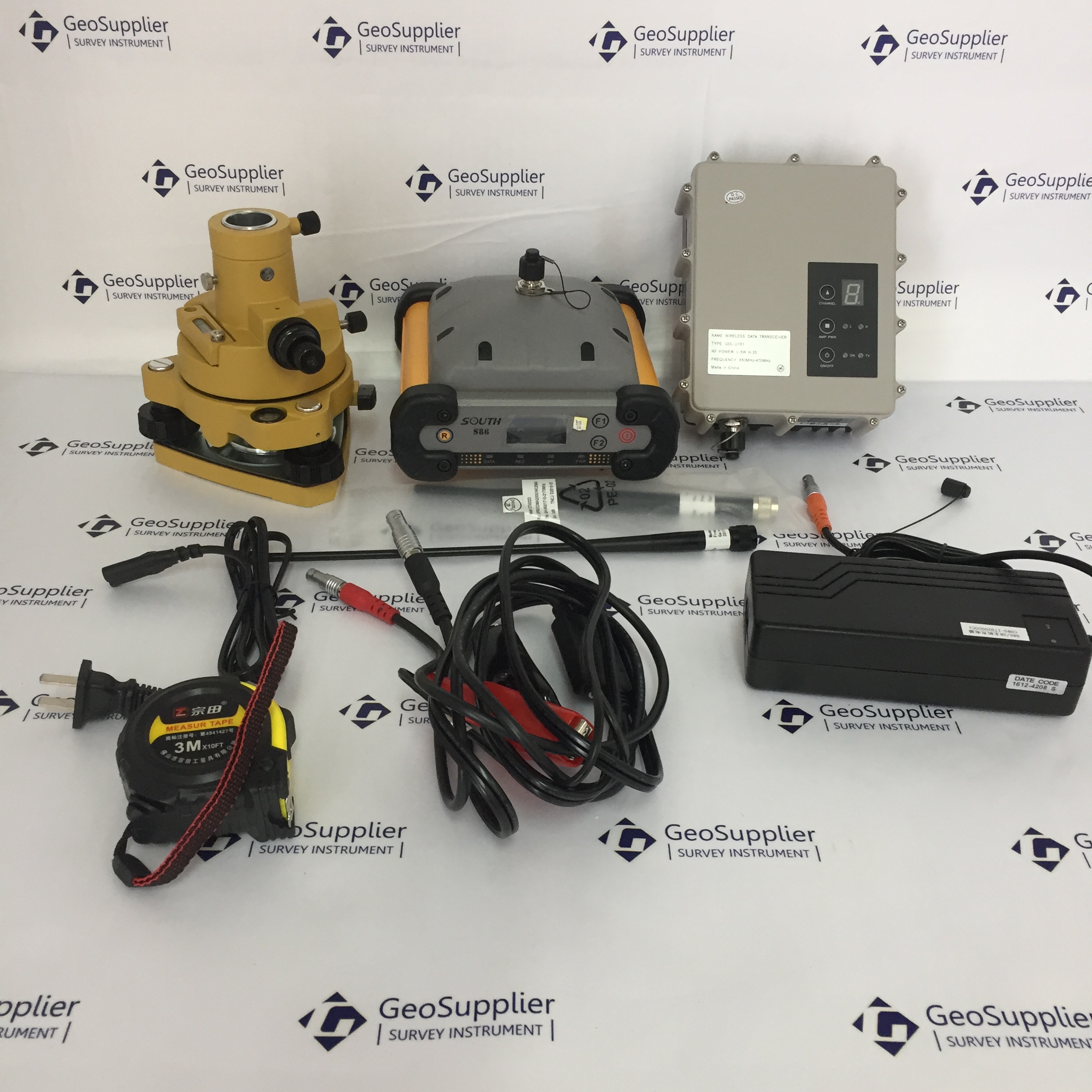
RECEIVER
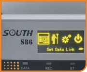
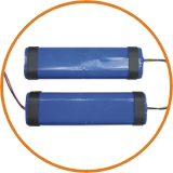
General Info (Measurement) - Built-in Digital LCD Display on the main receiver - Built-in Dual Lithium Ion batteries - Built-in Transmit/Received Internal Radio with 8-10km RTK working range - With External Base Radio Transmit with 20-25km RTK working range - Quick Initialization time <15sec. - Auto-base function - Compact Metal housing for rugged, durable & good for heat dissipation. - Built-in Control panel for direct setting of working mode - 220 Channels, by advanced Pacific Crest Maxwell 6 Custom Survey GNSS
technology; High Precision multiple correlator for GNSS pseudo range
measurements, Unfiltered, unsmoothed pseudo range measurements data for
low noise, low multipath error, low time domain correlation and high
dynamic response. Very low noise GNSS carrier phase measurements with
1mm precision in a 1Hz bandwidth. Signal-to-Noise ratios reported in
dB-Hz proven Pacific Crest low elevation tracking technology
Physical - Dimension (L x W x H): 158mm x 158mm x 78mm (6.2in x 6.2in x 3.1in) - Weight: 1.35kg (2.98lb) with battery and radio built-in
Temperature - Operating: -40 ~ +65 (-49F ~ +140F) - Storage: -55 ~ +85 (-67F ~ +185F) - Humidity: 100%, Condensing - Water/Dustproof: Tested to Ip67 standard, protected from temporary immersion to depth of 1m - Shock and vibration: Designed to survived a 2m pole drop onto concrete
Communication and Data Storage - Standard USB 2.0 port - RS-232 port: Baud rates up to 115200 - Fully sealed and integrated 2.4GHz communication Bluetooth port - UHF receiving antenna port - Fully sealed and integrated 450-470MHz receiver - Built-in GDL2 Radio (Default configuration) - Transmit power: 0.5W - UHF Range; Internal radio: 8-10km optimal Standard (varies with terrain / temperature) - UHF Range; External radio: 20-25km optimal Standard (varies with terrain / temperature) - Fully sealed and integrated internal GPRS/GSM Module - External Cellphone support for GPRS/GSM module for Network RTK (CORS) operations - Network RTK (via CORS) range (varies with temperature / GPRS data rate): 20-50km - Data Storage: 4G internal memory - Recording rate: 1Hz positioning, up to 20Hz (supported by mainboard Bs970) - Reference outputs: CMR, CMR+, RTCM 2.1, RTCM 2.2, RTCM 2.3, RTCM 3.0, RTCM 3.1
Customer Service | Shipping Information | About Us | Helpful Information | Scan QR code